
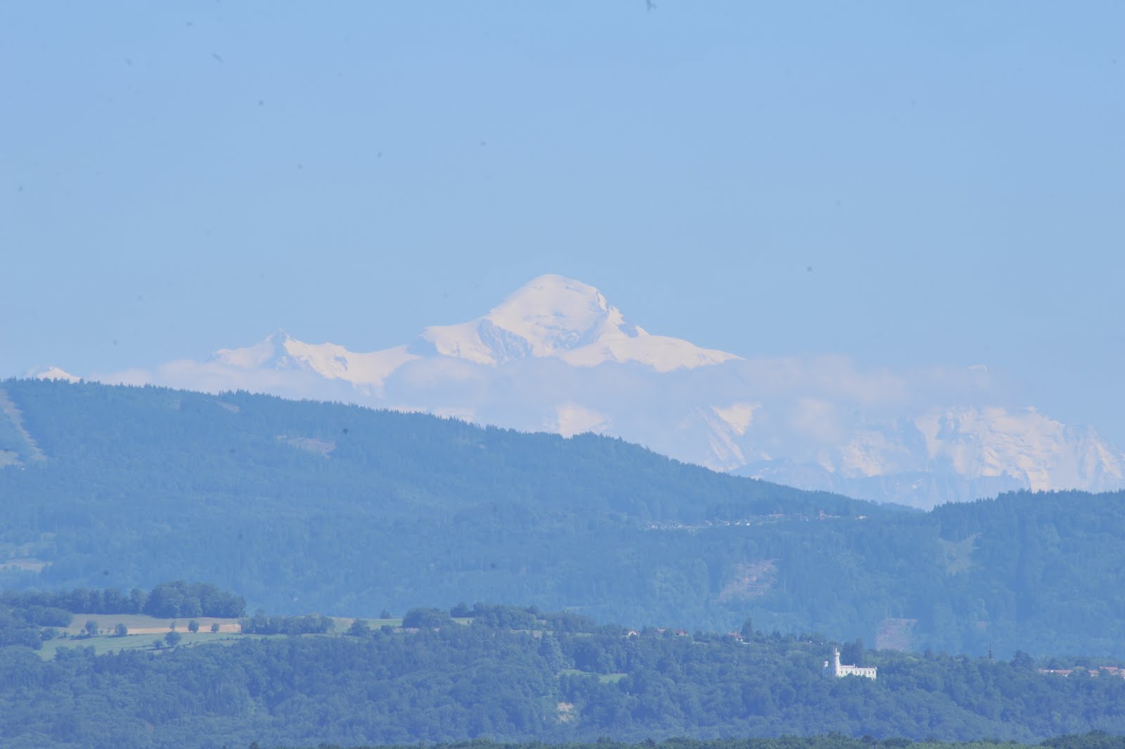
Mont Blanc seen from Nyon, Switzerland


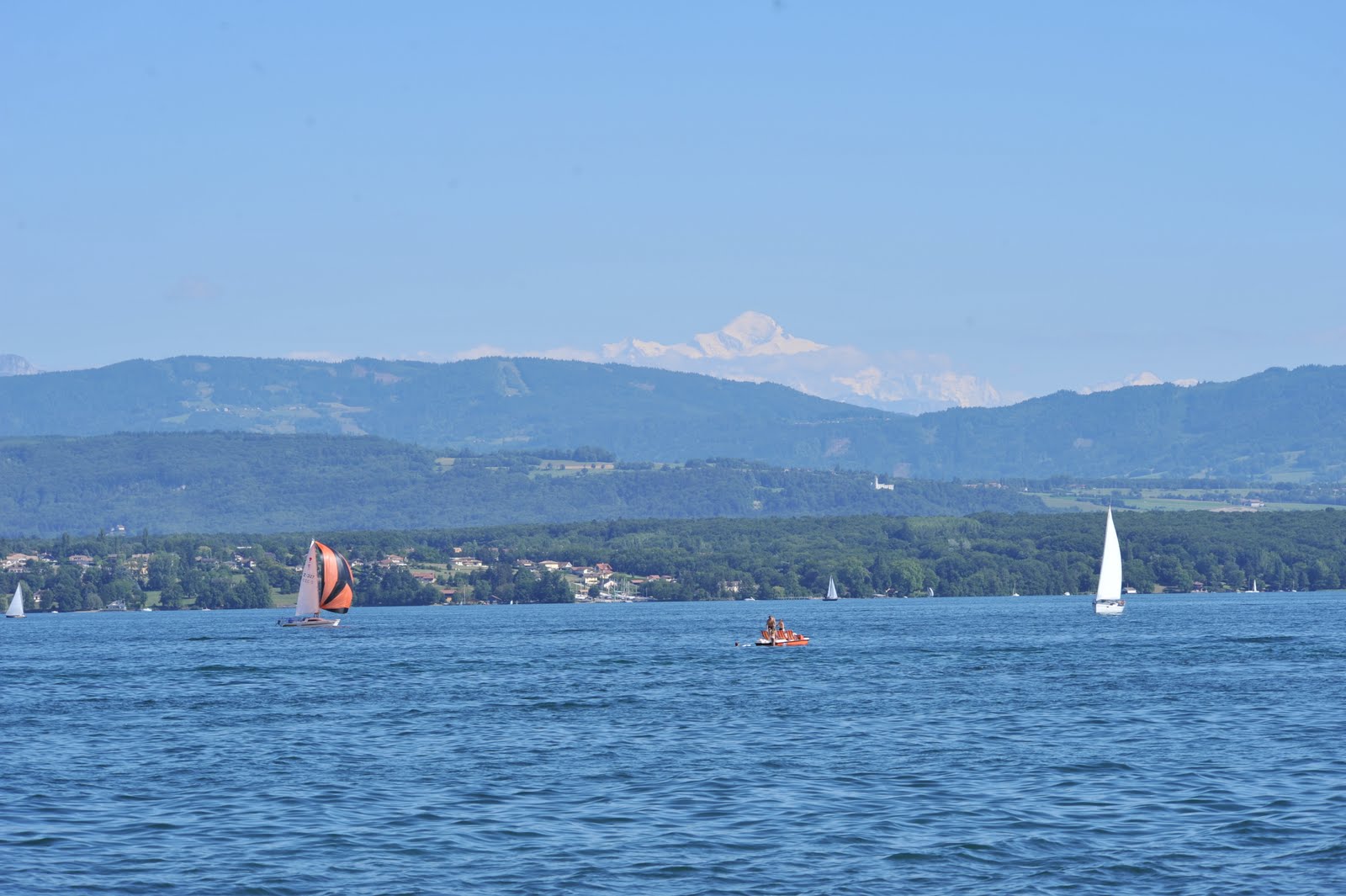
Sailing on Lac Léman (Lake Geneva)
Mont Blanc is the highest mountain in the Alps, Western Europe and the European Union. It rises 4,810.45 m (15,782 ft) above sea level and is ranked 11th in the world in topographic prominence. It is also sometimes known as "La Dame Blanche" (French for "The White Lady").
The mountain lies between the regions of Aosta Valley, Italy, and Haute-Savoie, France. The location of the summit is on the French-Italian border but French and Swiss cartographers place it within France's boundaries on maps. Recently, at the end of his studies of many different maps and with auxiliary of Istituto Cartografico dell’Esercito, Antonio Napolitano, the Italian leader of a mixed commission, claimed exclusive Italian ownership of the summit. The two most famous towns near Mont Blanc are Courmayeur, in Aosta Valley, Italy, and Chamonix, in Haute-Savoie, France — the site of the first Winter Olympics


The first recorded ascent of Mont Blanc was on 8 August 1786 by Jacques Balmat and the doctor Michel Paccard. This climb, initiated by Horace-Bénédict de Saussure, who gave a reward for the successful ascent, traditionally marks the start of modern mountaineering. The first woman to reach the summit was Marie Paradis in 1808.
Now the summit is ascended by an average 20,000 mountaineer-tourists each year and could be considered an easy, yet long, ascent for someone who is well trained and used to the altitude. This impression is reinforced by the fact that from l'Aiguille du Midi (where the cable car stops), Mont Blanc seems quite close, being merely 1,000 m (3,300 ft) higher. Whilst seeming deceptively close, La Voie des 3 Monts route (known to be more technical and challenging than other more commonly used routes) requires much ascent and descent before the final section of the climb is reached and the last 1000m push to the summit is undertaken.


The summit of Mont Blanc is a thick, perennial ice and snow dome whose thickness varies, so no exact and permanent summit elevation can be determined. But accurate measurements have been made. For a long time its official elevation was 4,807 m (15,771 ft). Then in 2002, the IGN and expert surveyors, with the aid of GPS technology, measured it to be 4,810.40 m (15,782 ft 2 in).
The summit was measured again in 2005, and the results were published on 16 December 2005. The height was found to be 4,808.75 m (15,776 ft 9 in), 30 cm (12 in) more than the previous recorded height. The actual rock summit was found to be at 4,792 m (15,722 ft), some 40 m (130 ft) away from the ice-covered summit.
In 2007 the summit was measured at 4,810.9 m (15,784 ft), and in 2009 at 4,810.45 m (15,782 ft).


It isn't often that the one has such a view of Mont Blanc.
However, every year the Mont Blanc massif takes many victims, and in peak weekends (normally around August) the local rescue service flies an average of 12 missions, mostly directed towards people in trouble on one of the normal routes of the mountain. There are courses that require knowledge of high-altitude mountaineering, a guide (or at least a veteran mountaineer), and proper equipment. It is a long course that includes delicate passages and the hazard of rock slides. Also, at least one night at the refuge is required to acclimatize to the altitude (the summit is almost 5 km (3.1 mi) above sea level); less could lead to altitude sickness and possible death.


No comments:
Post a Comment